My last post told a tale of a long sweaty hike up North Mountain and a leisurely jaunt on a flat greenways trail. Today I’ll describe the hiking at Lake Catherine State Park and West Mountain in the Hot Springs National Park, mostly through the use of photographs as it’s late and I’m not my most inspired.
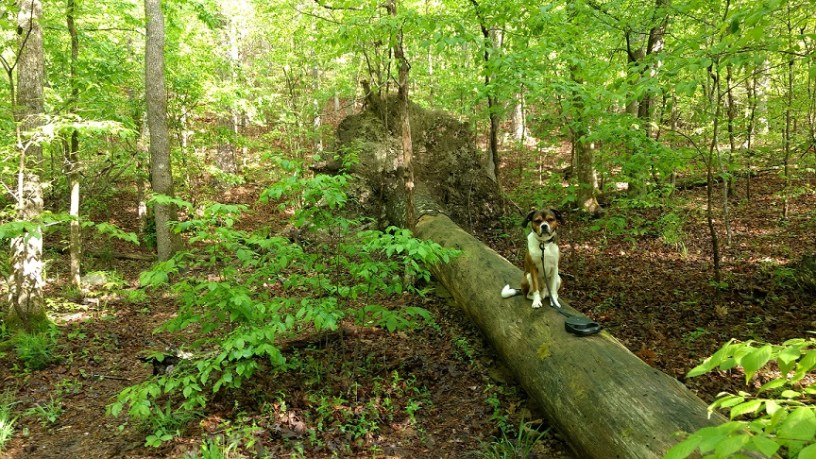
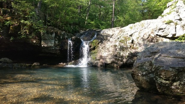
Lake Catherine State Park
Wednesday morning dawned 60 degrees and beautifully clear. By 8:30 we started the half hour drive to the park.
The geography of the region (low mountain ranges and the long, looping Ouachita (Wah-CHEE-tah) River) means that you can’t always get there from here — at least, not directly. It was a gorgeous day for a drive, so we turned on SiriusXM and rolled down the windows.
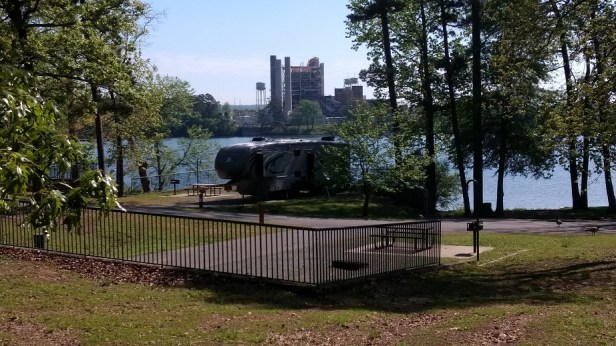
The park includes a large campground, spread over several loops. Overall the park was very clean and well maintained. Roads and trails were clearly marked, with frequent color blazes along the trails to ensure you stayed on the path. The main trailhead is just off Loop #4, I think, of the campground.
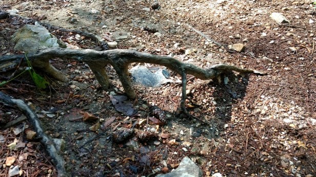
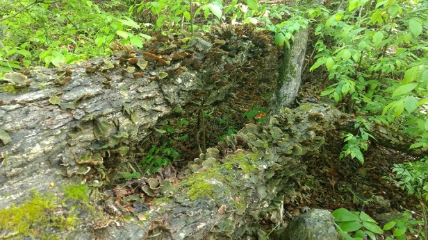
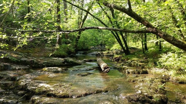
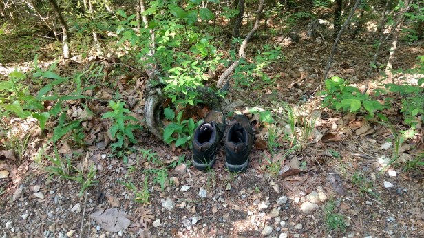
I took several photos of the trail but they don’t convey the trickiness of the terrain. Tree roots and rocks were perpetual tripping hazards. Switchbacks and steep inclines and declines kept me on my toes – literally. Erosion had worn away the path in some places to just a foot wide. We’ll focus on the pretty pics.
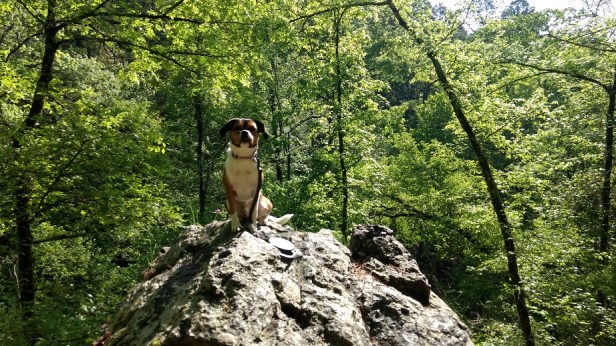
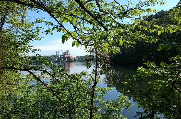
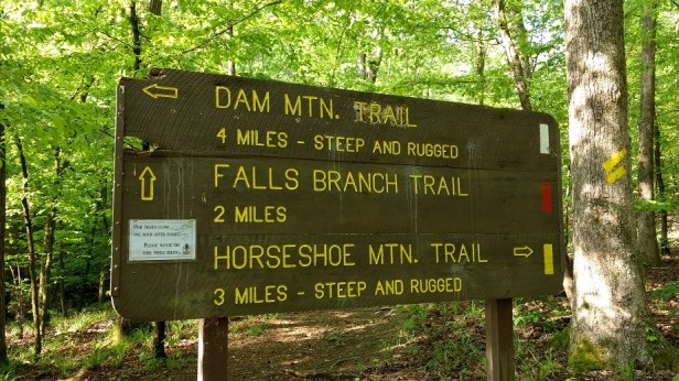
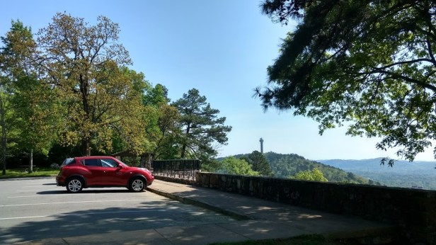
West Mountain, Hot Springs National Park
No waterfalls or critters on this hike. But loads of sunshine, birdsong, leaf-lined paths and a few curiosities.
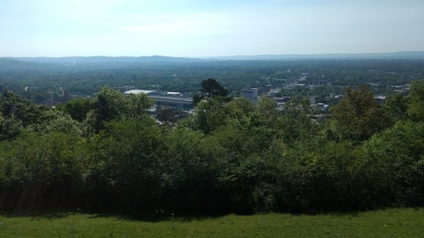
West Mountain, like North Mountain, is just off — well, above — downtown. The trails have not suffered from erosion, despite there being few runoff channels. They were broad and flat — but, once again, I somehow managed to choose the direction of travel which maximized the incline. *sigh*
We leave the area on Saturday, so I think that wraps up our hiking in Hot Springs.
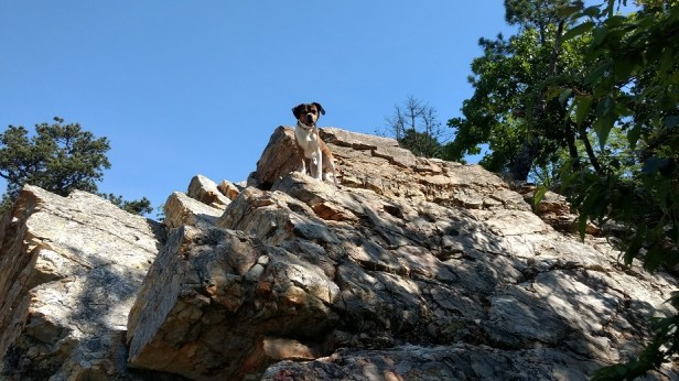
I’m really pleased with how well Elvis has behaved himself on the trails. He’s a stinker sometimes, but he does want to please and he gives me someone to talk to. 😉
Next stop: Crossville, Tennessee for the HDT East Coast Rally!

Elvis ❤ ❤
Looks like a lovely place! I did some hiking west of there, near the Oklahoma border, on Rich Mountain – a neat, long, skinny mountain. I camped at Queen Wilhelmina SP on top of the mountain. Gorgeous forests!
I’ve seen my first jacaranda trees here! One right in the campground, and one in the state park. I forgot to mention a lovely sweet smell on the first eighth-mile of yesterday’s hike. I couldn’t pinpoint the source but it was lovely.
I see the point of hiking: beautiful places along the way. But the effort……………..
LOL. I know — couch to frig, right?
So we tackled that trail yesterday, and I totally agree: Pictures do not do justice to how tricky some of the footing was. I was worried because of my knee, but luckily got through it. It’s a pretty hike, that’s for sure. Just not a ‘simple walk in the woods.’ And Dixie also was not a fan of that bridge. 🙂
Anyway, great meeting you guys! Safe travels in Tennessee!!!
Based on my experience at Lake Catherine S.P., I remembered to take my trekking pole on yesterday’s hike up West Mountain. I didn’t need it for most of the journey, but it helped up on the inclines!
Did you coax Dixie with treats too? I find that Elvis is willing to do just about anything for liver treats. 🙂
Good to meet you too. Stay in touch! Do you have a profile on RVillage? They have a check-in feature that helps keep track of friends.
Hey, the thing with Dixie is she’ll follow us anywhere. So if I go first and kevin is behind her, she’ll just go, or vice versa. We don’t need to use treats since she’ll do anything to stay with us, but she definitely didn’t like it.
We are not on RVillage. I am already overwhelmed with all the social networking sites I’m on, so I haven’t set that up yet. We’ll see…. I might eventually… If I do, I’ll let you know!
The photos are gorgeous. Looks so pretty and right up my alley (albeit slow and steady–turtle’s pace). Hope you got to the new location safely. We head out on Friday morning. So sad to leave family, but ready to get back on the road. Safe travels, Andrea. By the way, I’m DawnG on RVillage. Couldn’t find y’all on there. Safe travels!